|
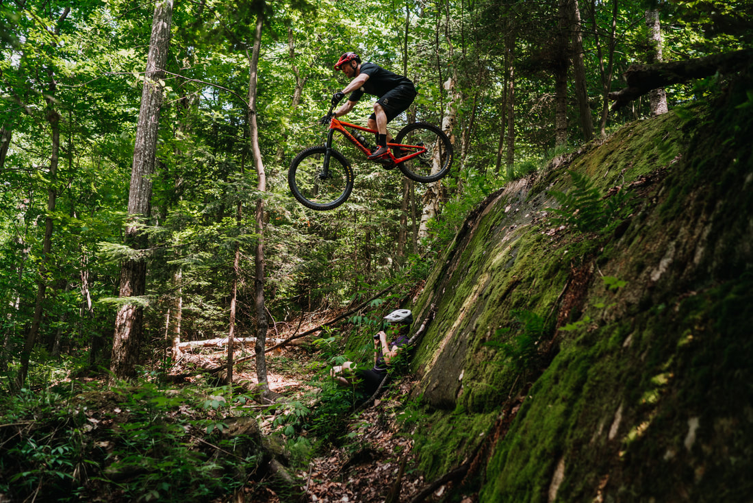
Lussi TrailsThe Lussi Trails behind the Lake Placid Club golf course provide the highest concentration of single track and offer the easiest access from town. Be sure not to miss “Twisted Sister” and the killer boardwalk features on the "Lumberyard" trail and see if you can figure out which popular 1980’s cult movie was the inspiration for the trail names.
The Lussi Trails are located on private land thanks to the generosity of the landowner. Please stay on marked trails and DO NOT ride on or through the golf course. Banner Photo Courtesy of ROOST. |
TRAIL BETA
To keep it mellow, stick to the Lussi trails: Try Stateline to Judge Smails to Night Putting to Twisted Sister to Bushwood, back to night putting and then out Lumberyard. The elevation gain and loss isn't much to speak of, but the bridges, tight turns and intermittent roots and rocks will keep you pedaling.
Directions
There are 3 main parking areas for the Lussi & Loggers trail systems. Clockwise from top left on the Trail Map above:
1. Park at the driving range along Rt. 86 just east of the intersection with Rt. 73 (see red pin on map at right). Look for the green kiosk at the bottom of the parking lot where you'll find a map and donation box. This is western end of Cinderella Trail. Parking lot access here is graciously provided by the family that owns the golf course - please be respectful and quiet in the parking lot, stay on marked trails, and stay OFF the golf course at all times.
2. Park at a dirt pull-off along Rt. 86 about 2 miles east of the intersection with Rt. 73. Look for a trail entrance marked with a brown and red sign just uphill from the pull-off. This is beginning of the Stateline Trail.
3. Park along River Rd near the steel deck bridge (not along the private dirt road). Cross the bridge and follow the red Jackrabbit Trail markers to a green kiosk where you'll find a map and donation box. This is also a good place to park to access the Craig Wood trails.