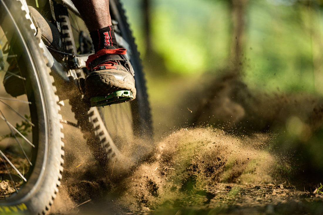
Blueberry HillThe Blueberry Hill Trail System is a network of multi-use trails spread over 900 acres of town-owned property.
The trails are a perfect balance of wide and rolling double track intertwined with technical and sometimes challenging single track. Approximately 12 miles of trail link three open summits, with outstanding views of the Giant Mountain Wilderness, Lake Champlain and Vermont’s Green Mountains. Photos: Adsit Media Works
|
Trail Beta
Experienced riders and trail runners can test themselves on the challenging summit climbs of Joel’s Trail, the Blueberry Lean-to Trail, and Upper Liberty. Those just starting out can connect a network of smooth double track and old logging roads. There is a lean-to on the summit of Blueberry Hill and you will also come across a rustic log cabin and a sugar house along the trails.
From the Lord Road trailhead, start your ride climbing up the new Handy Trail, a single track option to climb from Lord Rd up to the Blueberry Lean-To and to access the rest of the Blueberry trails. The 1.3 mile Handy Trail crosses over the existing Colonel Holst double track several times. Handy Trail rides well in both directions, so it’s a great way to return to the trailhead at the end of your ride.
From the Bronson Way sandlot parking, starting up either Lush or Hemlock are both good options to start your adventure. A favorite local’s route to the summit of Joel’s that hits many of the single track trails is Hemlock to Hulbert to Thin Line to Hidden. At the intersection with Wreath, continue down Ridge and drop down the sharp switchbacks to Creekside (which is a great water stop for dogs) back to Ridge where you will find yourself at the start of Joel’s. Climb the 1.3 mile single track to a spectacular rocky viewpoint. Enjoy the fast ride down, and take a left at the bottom to Cabin and Drop on your way back to Bronson.
Weekly group ride meets at 6 PM on Thursdays at the Bronson sandlot parking area, which is the first parking area on the right as you drive up Bronson.
Directions
From Route 9N just outside of Elizabethtown on the west side (towards Keene), turn onto Lord Road. A parking area and trailhead are located 0.1 miles on the left side of Lord Road.
Additional parking options are located on Bronson Way. Continue on Lord Road and take the first left onto Roscoe Road. Take the next left onto Bronson Way. Drive slowly as this dirt road starts between a house and a horse barn. Follow Bronson to a large sandlot parking area less than 0.5 miles on the right, which is the recommended parking location and meeting spot for group rides. There are additional parking locations farther up Bronson, if desired.

